Geotechnical Schemes
Island Roads has developed a programme to improve long-term geological issues across the Island.
However, due to the changing nature of the Island’s geology, this programme may vary to ensure that we prioritise schemes to safeguard the public.
Bouldnor Road
One of the first of these schemes was a multi-million pound project at Bouldnor Road – the main approach into Yarmouth – the work involved strengthening a 700-metre stretch of the highway between the Viewpoint Car Park and Yarmouth Green. The scheme involved the use of specialist equipment to drive 750 steel sheet piles up to 16 metres in to the ground, a process called ‘soil nailing’ to stabilise the highway at the Yarmouth end of the scheme.
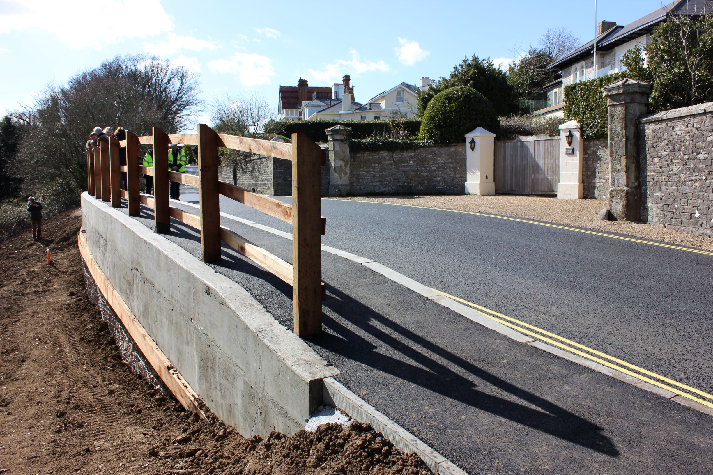
Duver Road
We also carried out a major scheme to strengthen Duver Road in St Helens (main picture) including installing 45 concrete piles eleven metres into the ground and the void beneath the road being filled with a concrete-based material. As part of the scheme the footpath was rebuilt and a new post and rail timber fence installed.

Leeson Road
In December 2023, a prolonged period of heavy rain triggered the largest landslide in living memory on the Isle of Wight, resulting in the closure of Leeson Road due to safety concerns. The catastrophic slip brought the main road between Ventnor and Shanklin dangerously close to the cliff face.
What followed was a textbook example of collaborative working between Island Roads, industry experts, and the local community. The primary focus was to balance the urgent need for safety with the socio-economic necessity of reopening the road. The goal was to use advanced technology to monitor the situation closely and keep the road open for as long as possible.
In April 2024, Island Roads’ Structures Team oversaw the installation of state-of-the-art monitoring equipment, including extensometers, tiltmeters, and global navigation satellite sensors, to track ground movements. This system facilitated the temporary reopening of Leeson Road, with enhanced monitoring to ensure continued safety, during the crucial holiday high season. In Autumn 2024, three boreholes were drilled to a depth of 130 meters, with more monitoring equipment installed, providing invaluable data on subsurface conditions, allowing for an early warning system to be set up, with the road reopening at the end of November 2024.
The site is now subject to an Emergency Response Plan, allowing the road to be used safely while the situation continues to be monitored. This collaborative, data-driven approach has not only allowed for the safe reopening of Leeson Road but also provides a valuable blueprint for managing similar geological failures in the future. Island Roads remains committed to ensuring the safety and resilience of the Isle of Wight’s infrastructure, even in the face of extreme natural events like the Ventnor landslip.
Newport Road, Ventnor (The Graben)
The constantly changing geology of the Island’s South Coast is apparent at Newport Road in Ventnor, known locally as The Graben. Here, there is continual movement that affects both the condition and levels of the road surface. There is no easy geological solution to this movement so, under the highways PFI, Island Roads is required to ensure the road remains safe for users. This means regular inspections and interventions, the most recent of which took place in October 2025 (See picture below).
Gills Cliff Road and Belgrave Road in Ventnor
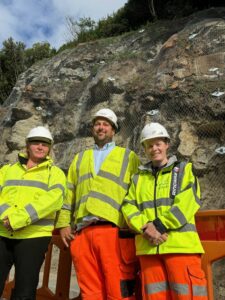
Island Roads has recently used high-tech super-strong steel netting similar to that used in Formula 1 racing, to stabilise cliffs that overlook Belgrave Road and Gills Cliff Road in Ventnor. Both roads had to be closed on safely ground following the rockfalls. The containment systems designed and installed by Island Roads using the expertise of local contractors should prevent further rockfalls at both locations.
Other schemes
Other schemes completed include Whitwell Road (Ventnor), Westhill Lane (Yarmouth), Gills Cliff Road (Ventnor), Castle Court (Ventnor), La Falaise footpath, Winter Gardens footpath, Blackgang Old Access Road, The Terrace (Chale), and part of Undercliff Drive (Ventnor).
